Maps of castles in England by county: L–W
Appearance
The castles displayed on each map are those listed in the List of castles in England for the corresponding county. Click on the red or green dot to display a detailed map showing the location of the castle. Green dots represent for the most part castles of which substantial remains survive, red dots represent castles of which only earthworks or vestiges survive, or in a few cases castles of which there are no visible remains.
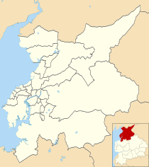
Lancashire
[edit]Castles in Lancashire
Castles in City of Lancaster
Leicestershire
[edit]Castles in Leicestershire
Lincolnshire
[edit]Castles in Lincolnshire
Merseyside
[edit]Castles in Merseyside
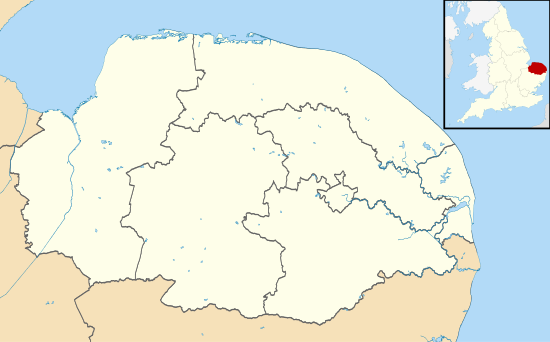
Norfolk
[edit]Castles in Norfolk
Northamptonshire
[edit]Castles in Northamptonshire
Northumberland
[edit]
Widdrington
West Lilburn
Welton
Wark
Warden
Thornton
Tarset & Dally
I
I
I
I
Staward & Willimoteswick
I
I
I
Staward & Willimoteswick
Simonburn
Ponteland
Swarland
Lowick
Thockrington
Kyloe
Howtel
Hethpool
Hepple
Heiferlaw
Gt. Tosson
Duddo
Cornhill
Burradon
Whitton
Whittingham
Warkworth
Twizell
Thirlwall & Blenkinsop
Shortflatt
Shilbottle
Nafferton & Prudhoe
Prior Castell's
Preston
Norham
Morpeth
Mitford
Lindisfarne
Lemmington & Edlingham
Langley
Longhorsley
Hexham
Haughton
Harbottle
Halton & Aydon
Haggerston
Ford ×2
Featherstone
Etal
Embleton
Elsdon ×2
Dunstanburgh
I
I
Beaufront & Dilston & Corbridge
I
Beaufront & Dilston & Corbridge
Cresswell
Crawley
Craster
Coupland
Cocklepark
Cocklaw
Chipchase
Chillingham
Cartington
Callaly
Bywell
Bothal
Bitchfield
Berwick
Belsay
I
I
Haltwhistle & Bellister
I
Haltwhistle & Bellister
Barmoor
Bamburgh
Alnwick
Alnham
Castles in Northumberland
North Yorkshire
[edit]Castles in North Yorkshire
Nottinghamshire
[edit]Castles in Nottinghamshire
Oxfordshire
[edit]Castles in Oxfordshire
Rutland
[edit]Castles in Rutland
Shropshire
[edit]Castles in Shropshire
Somerset
[edit]
Ballands
Bridgwater
Bury
Cary
Castle Batch
Neroche
Cockroad Wood
Crewkerne
Culverhay
Fenny
Montacute
Richmont
Stowey
Wimble Toot
Dunster
Farleigh
Hungerford
Hungerford
Newton St Loe
Nunney
Stogursey
Taunton
Castles in Somerset
South Yorkshire
[edit]Castles in South Yorkshire
Staffordshire
[edit]Castles in Staffordshire
Suffolk
[edit]Castles in Suffolk
Surrey
[edit]Castles in Surrey
Tyne and Wear
[edit]Castles in Tyne and Wear
Warwickshire
[edit]Castles in Warwickshire
West Midlands
[edit]Castles in the West Midlands
West Sussex
[edit]Castles in West Sussex
West Yorkshire
[edit]Castles in West Yorkshire
Wiltshire
[edit]Castles in Wiltshire
Worcestershire
[edit]Castles in Worcestershire


