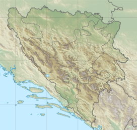
Lunjevača
Appearance
| Lunjevača | |
|---|---|
| Highest point | |
| Elevation | 1,619 m (5,312 ft) |
| Coordinates | 44°21′18.2″N 16°31′30.9″E / 44.355056°N 16.525250°E |
| Naming | |
| Native name | Velika Lunjevača (Bosnian) |
| Geography | |
| Location | Bosnia and Herzegovina |
Lunjevača (Cyrillic: Луњевача) is a mountain in the municipality of Drvar, Bosnia and Herzegovina. It has an altitude of 1,707 metres (5,600 ft).[1]
See also
[edit]References
[edit]- ^ "Statistical Yearbook of the Federation of Bosnia and Herzegovina" (PDF). Federation of Bosnia and Herzegovina, Federal Office of Statistics. 2009. p. 28. Archived from the original (PDF) on 2010-03-07.

