Lockatong Creek
Appearance
| Lockatong Creek | |
|---|---|
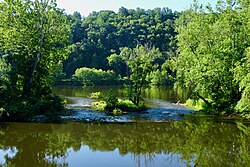
 Confluence of the Lockatong Creek with the Delaware River | |
 | |
| Location | |
| Country | United States |
| State | New Jersey |
| Region | Hunterdon County |
| Physical characteristics | |
| Source | |
| • location | Franklin Township |
| • coordinates | 40°33′15.1″N 74°56′49.1″W / 40.554194°N 74.946972°W[1] |
| Mouth | Delaware River |
• location | Delaware Township |
• coordinates | 40°24′27.4″N 75°0′50.6″W / 40.407611°N 75.014056°W[1] |
| Basin features | |
| River system | Delaware River |
Lockatong Creek is a 15.6-mile-long (25.1 km)[2] tributary of the Delaware River in Hunterdon County, New Jersey, United States. Its source is near Quakertown in Franklin Township. It flows into the Delaware River via an overflow spillway after entering the feeder canal of the Delaware and Raritan Canal in Delaware Township, midway between Raven Rock and Stockton.[1]
Lockatong is derived of a Munsee phrase — lokatink, or “place of wheat meal".[3]
-
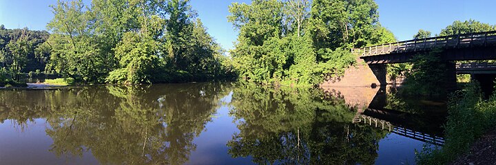
Lockatong Creek flowing, from right to left, into the Delaware River
See also
[edit]References
[edit]- ^ a b c "Lockatong Creek". Geographic Names Information System. United States Geological Survey, United States Department of the Interior.
- ^ U.S. Geological Survey. National Hydrography Dataset high-resolution flowline data. The National Map Archived 2012-03-29 at the Wayback Machine, accessed April 1, 2011
- ^ Grumet, Robert. Manhattan to Minisink: American Indian Place Names of Greater New York and Vicinity, University of Oklahoma Press, 2013. ISBN 0-8061891-3-4
External links
[edit]

