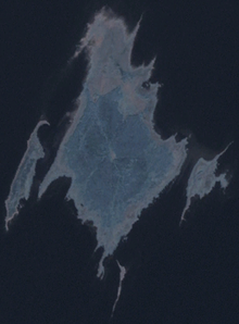
Linnusitamaa
Appearance
 Linnusitamaa in the northwestern part of Gulf of Riga | |
| Geography | |
|---|---|
| Location | Gulf of Riga |
| Coordinates | 58°07′07″N 22°30′37″E / 58.11861°N 22.51028°E |
| Area | 5.07 ha (12.5 acres) |
| Coastline | 2.1 km (1.3 mi) |
| Administration | |
Estonia | |
| County | Saare County |
| Municipality | Saaremaa Parish |
| Settlement | Abruka village |
| Demographics | |
| Population | 0 |
Linnusitamaa (also known as Linnusita saar) is a 5.07 ha (12.5 acres)[1] uninhabited Estonian islet in the Gulf of Riga. It's located about 300 m (980 ft) south of the island of Abruka. Administratively Linnusitamaa belongs to the Abruka village in Saaremaa Parish, Saare County. The island is part of the Abruka Nature Reserve.
The name is a curiosity, literally meaning "bird shit land" in Estonian. However, as the Estonian word does not have as offensive connotations as the English equivalent, it would more properly be translated as "guano island".[2]
The New York Times reported that, during the 1905 Russian Revolution against Czarist Russia, Linnusitamaa, like other Baltic islands, declared itself an independent republic.[3]

See also
[edit]References
[edit]- ^ "Vahase saar" (in Estonian). EELIS – Estonian Nature Infosystem. Archived from the original on 24 March 2012. Retrieved 24 May 2011.
- ^ "The Island of Abruka," Saaremaa.ee
- ^ "Tiny Islands Defying Czar" (PDF). New York Times. January 18, 1906. p. 4. Retrieved 14 December 2018.
