Lindquist Island
Appearance
| Geography | |
|---|---|
| Location | Northern Australia |
| Coordinates | 17°39′24″S 146°09′34″E / 17.656667°S 146.159444°E |
| Area | 0.07 km2 (0.027 sq mi) |
| Administration | |
| State | Queensland |
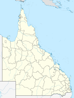
Lindquist Island is an island in Queensland, Australia. It is within the locality of Cowley Beach in Cassowary Coast Region.[1] It forms part of the Cowley Beach Training Area military base.[2]
Geography
[edit]The island is about 90 km north of Dunk Island and east of the mainland part of Cowley Beach Training Area near Double Point and north of the South Barnard Islands. It is around 7 hectares or 0.07 square km in size.[3]
Lindquist Island is part of the North Barnard Islands.
This island is protected by the EPA Queensland in that migratory birds rest here.
The island is also a site for popular tourist kayaking and there have been sightings of Humpback whales.
References
[edit]- ^ "Lindquist Island – island in the Cassowary Coast Region (entry 19448)". Queensland Place Names. Queensland Government. Retrieved 12 June 2020.
- ^ "Cowley Beach Innisfail, Queensland" (PDF). Australian Department of Defence. April 2016. Archived (PDF) from the original on 11 June 2020. Retrieved 12 June 2020.
- ^ "Map of Lindquist Island, QLD".

