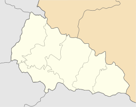
Koson, Zakarpattia Oblast
Appearance
This article needs additional citations for verification. (August 2012) |
Koson
Косонь Mezőkaszony | |
|---|---|
Village | |
| Coordinates: 48°15′21″N 22°27′19″E / 48.25583°N 22.45528°E | |
| Country | |
| Oblast | Zakarpattia Oblast |
| Raion | Berehove Raion |
| Area | |
• Total | 4.798 km2 (1.853 sq mi) |
| Elevation | 105 m (344 ft) |
| Population | |
• Total | 2,338 |
| • Density | 490/km2 (1,300/sq mi) |
| Time zone | UTC+2 (EET) |
| • Summer (DST) | UTC+3 (EEST) |
| Post Code | 90223 |
| Area code | +380 3141 |
Koson (Ukrainian: Косонь, Hungarian: Mezőkaszony) is a village in Zakarpattia Oblast (province) of western Ukraine.
Geography
[edit]The village is located around 20 km northwest of Berehove. Administratively, the village belongs to the Berehove Raion, Zakarpattia Oblast.
History
[edit]It was first mentioned as Kozun in 1332.[1]
Population
[edit]Nowadays the population includes 2338 inhabitants,[1] mostly Hungarians.
References
[edit]- ^ a b "Регіони України Та Їх Склад". W1.c1.rada.gov.ua. 2012-05-14. Retrieved 2012-08-25.[permanent dead link]


