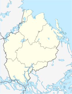
Karlholmsbruk
Appearance
Karlholmsbruk | |
|---|---|
| Coordinates: 60°31′N 17°37′E / 60.517°N 17.617°E | |
| Country | Sweden |
| Province | Uppland |
| County | Uppsala County |
| Municipality | Tierp Municipality |
| Area | |
| • Total | 2.37 km2 (0.92 sq mi) |
| Population (31 December 2010)[1] | |
| • Total | 1,150 |
| • Density | 485/km2 (1,260/sq mi) |
| Time zone | UTC+1 (CET) |
| • Summer (DST) | UTC+2 (CEST) |
Karlholmsbruk is a locality situated in Tierp Municipality, Uppsala County, Sweden with 1,150 inhabitants in 2010.[1]
In 1725 Charles de Geer of Lövstabruk purchased the mansions of Finnerånger, from Johan Dahl Finnerånger, and Holmsånger, from Hugo Johan Hamilton Holmsånger, in order to start an ironworks, Karlholmsbruk, at the mouth of Tämnarån, which he successfully did after a lengthy legal process. Originally a Wallonic hearth was erected. In 1880 it was replaced by a Lancashire hearth. Iron production was discontinued in September 1932.[2]
References
[edit]- ^ a b c "Tätorternas landareal, folkmängd och invånare per km2 2005 och 2010" (in Swedish). Statistics Sweden. 14 December 2011. Archived from the original on 27 January 2012. Retrieved 10 January 2012.
- ^ Carlholms Bruks Bok(in Swedish)


