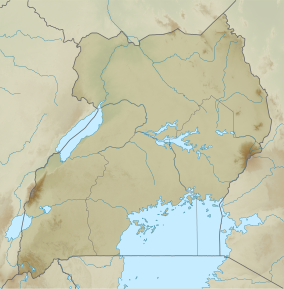
Karenga Community Wildlife Management Area
Appearance
This article needs additional citations for verification. (February 2018) |
| Karenga Community Wildlife Management Area | |
|---|---|
| Location | Karenga, Kaabong, Karamoja, Uganda |
| Coordinates | 3°29′46″N 33°43′24″E / 3.49611°N 33.72333°E |
| Area | 956 km2 (369 sq mi) |
| Established | 2002 |
The Karenga Community Wildlife Management Area (KCWMA) is a conservation area in north-eastern Uganda.
Ecology
[edit]The KCWMA is in the Northern Acacia-Commiphora bushlands and thickets ecosystem, part of the Kidepo Valley National Park critical landscape.[1]
Conservation
[edit]Among the challenges in the KCWMA are wildlife poaching, lack of adequate infrastructure for eco-tourists, and unsustainable use of natural resources, such as charcoal manufacturing.[1]
References
[edit]- ^ a b "Profile: Conservation and Sustainable Use of the Threatened Savanna Woodland in the Kidepo Critical Landscape in North Eastern Uganda". Global Environment Facility. Archived from the original on 2012-07-28. Retrieved 2012-07-28.

