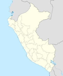
Huaura Islands
Appearance
This article has multiple issues. Please help improve it or discuss these issues on the talk page. (Learn how and when to remove these messages)
|
Islas de Huaura (Spanish) | |
|---|---|
| Geography | |
| Location | Pacific Ocean |
| Coordinates | 11°24′0″S 77°45′32″W / 11.40000°S 77.75889°W |
| Major islands | Mazorca, Huampanú, Pelado |
| Administration | |
| Region | Lima |
| Additional information | |
| Time zone | |
The Huaura Islands are an archipelago in Peru, comprising uninhabited islands and islets located in the Pacific Ocean.
Mazorca Island is the largest island of the group, reaching a maximum elevation of 78 m. There is also a lighthouse on the island.[1]
Birds found on the islands include the guanay cormorant, the Peruvian booby and the Humboldt penguin.[2]
Islands
[edit]| N.º | Name of island | Area (hectares) | Coordinates |
|---|---|---|---|
| 1 | es:Isla Mazorca | 11,63 | |
| 2 | Isla Brava | 4,20 | |
| 3 | es:Isla Huampanú | 2,25 | |
| 4 | Isla Pelado | 1,95 | |
| 5 | Islote Chuquitanta o Caquitina | 0,75 | |
| 6 | Islote Chiquitina | 0,18 | |
| 7 | Islote Tambillo | 0,13 |
References
[edit]- ^ Prostar Sailing Directions 2004 West Coast of South America Enroute. ProStar Publications. 2004. pp. 43–44. ISBN 9781577855514.
- ^ PLAN DE MANEJO DE CAMPAÑA DE EXTRACCION DE GUANO DE ISLA 2012 (in Spanish). AGRORURAL. pp. 34–38.

