Gwills
Appearance
Gwills
| |
|---|---|
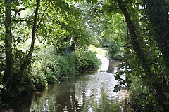
 The River Gannel at Gwills | |
Location within Cornwall | |
| OS grid reference | SW829593 |
| Civil parish | |
| Unitary authority | |
| Ceremonial county | |
| Region | |
| Country | England |
| Sovereign state | United Kingdom |
| Post town | lHelston |
| Postcode district | TR12 |
Gwills (Cornish: Gwyles)[1] is a hamlet in the parish of Colan, Cornwall, England.[2][3] According to the Post Office the population at the 2011 census was included in the civil parish of Gunwalloe
References
[edit]- ^ Place-names in the Standard Written Form (SWF) Archived 15 May 2013 at the Wayback Machine: List of place-names agreed by the MAGA Signage Panel Archived 15 May 2013 at the Wayback Machine. Cornish Language Partnership.
- ^ Ordnance Survey: Landranger map sheet 200 Newquay & Bodmin (Map). Ordnance Survey. ISBN 978-0-319-22938-5.
- ^ Gwills; Explore Britain

