Guareña
Appearance
You can help expand this article with text translated from the corresponding article in Spanish. (March 2022) Click [show] for important translation instructions.
|
Guareña | |
|---|---|
Municipality | |
 | |
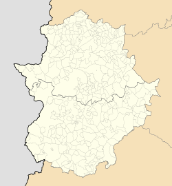
Location of Guareña within Extremadura | |
| Coordinates: 38°51′36″N 6°6′6″W / 38.86000°N 6.10167°W | |
| Country | |
| Autonomous Community | |
| Province | Badajoz |
| Comarca | Las Vegas Altas |
| Government | |
| • Mayor | Abel González Ramiro |
| Area | |
| • Total | 283.3 km2 (109.4 sq mi) |
| Elevation (AMSL) | 285 m (935 ft) |
| Population (2018)[1] | |
| • Total | 7,006 |
| • Density | 25/km2 (64/sq mi) |
| Time zone | UTC+1 (CET) |
| • Summer (DST) | UTC+2 (CEST (GMT +2)) |
| Postal code | 06470 |
| Area code | +34 (Spain) + 924 (Badajoz) |
| Website | www.guarena.es |
Guareña is a Spanish municipality in the province of Badajoz, Extremadura. It has a population of 7,326 (2007) and an area of 283.3 km².
People from Guareña
[edit]- Luis Chamizo Trigueros (1894 – 1945) was a Spanish writer in Castilian and "Castúo", a dialect in Extremadura.
References
[edit]- ^ Municipal Register of Spain 2018. National Statistics Institute.
External links
[edit]- Official website (in Spanish)
- Profile (in Spanish)
38°51′N 6°05′W / 38.850°N 6.083°W

