Guanwu National Forest Recreation Area
Appearance
| Guanwu National Forest Recreation Area Chinese: 觀霧國家森林遊樂區 | |
|---|---|
 | |
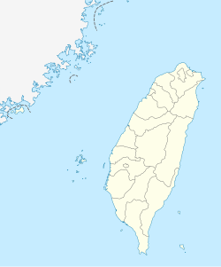
| Map | |
| Geography | |
| Location | Wufeng, Hsinchu County and Tai'an, Miaoli County in Taiwan |
| Coordinates | 24°30′22.1″N 121°06′49.8″E / 24.506139°N 121.113833°E |
| Elevation | 1,500–2,500 m (4,900–8,200 ft) |
| Area | 907 ha (2,240 acres) |
Guanwu National Forest Recreation Area (traditional Chinese: 觀霧國家森林遊樂區; simplified Chinese: 观雾国家森林游乐区; pinyin: Guānwù Guójiā Sēnlín Yóulè Qū) is a forest located in Wufeng Township, Hsinchu County and Tai'an Township, Miaoli County in Taiwan.
Geology
[edit]The forest spans over an area of 907 hectares (2,240 acres) and is located at an elevation of 1,500–2,500 meters (4,900–8,200 ft).[1][2] It has an annual mean temperature of 13 °C (55 °F). It has several waterfalls; the 30-meter (98 ft) Guanwu Waterfall is the most notable one.[3]
See also
[edit]References
[edit]- ^ "Guanwu National Forest Recreational Area". roundTAIWANround. Retrieved 29 August 2019.
- ^ "Guanwu National Forest Recreation Area". Taiwan, the Heart of Asia. Retrieved 29 August 2019.
- ^ "Guanwu Forest Recreation Area". Forestry Bureau, Council of Agriculture, Executive Yuan. 11 May 2018. Retrieved 29 August 2019.
Wikimedia Commons has media related to Guanwu National Forest Recreation Area.

