Grubbdalen Nature Reserve
| Grubbdalen Nature Reserve | |
|---|---|
 Grubbdalen Nature Rerserve with the peak Juthatten in the background | |
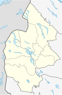
Location within Jämtland County | |
| Location | Sweden |
| Nearest city | Östersund |
| Coordinates | 64°02′22″N 13°42′44″E / 64.03944°N 13.71222°E |
| Area | 21 km2 (5,200 acres)[1] |
| Established | 2003[1] |
Grubbdalen Nature Reserve (Swedish: Grubbdalens naturreservat) is a nature reserve in Jämtland County in Sweden. It is part of the EU-wide Natura 2000-network.
The nature reserve consists of parts of a valley between the Norwegian parts of the Scandinavian Mountains and a lower part of the mountain chain on the Swedish side of the border. At the bottom of the valley runs a small river, surrounded by tree-less bogs. Higher up the valley is richly forested, containing old-growth spruce forest and on the higher altitudes downy birch. The landscape has been characterized by its use by Sami people for a very long time, and formerly the valley also housed resident farmers; around 1900 eight families lived permanently here. Today there is no permanent population but the area is still used by the Sami as pasture for reindeer.[1]
The flora of the nature reserve is relatively rich and includes among other species alpine yellow-violet, calypso orchid and February daphne. The fauna includes moose and brown bear, and occasionally also wolverine and Eurasian lynx.[1]
References
[edit]- ^ a b c d "Grubbdalen" (in Swedish). Jämtland County Administrative Board. Retrieved 4 February 2018.


