Gaładuś Lake
Appearance
| Gaładuś | |
|---|---|
 Gaładuś Lake at twilight. | |
| Coordinates | 54°10′06″N 23°25′14″E / 54.16833°N 23.42056°E |
| Type | Ribbon lake |
| Basin countries | Poland, Lithuania |
| Max. length | 10.6 km (6.6 mi) |
| Max. width | 1.5 km (0.93 mi) |
| Surface area | 7.29 km2 (2.81 sq mi) |
| Average depth | 12.7 m (42 ft) |
| Max. depth | 54.8 m (180 ft) |
| Water volume | 1,606,000 m3 (1,302 acre⋅ft) |
| Surface elevation | 134.3 m (441 ft) |
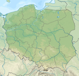
Gaładuś (Lithuanian: Galadusys) is a ribbon lake located in the Suwałki Region, where it is the second largest lake by area.[1] The lake is located in the north-east of Poland and the south of Lithuania. The lake is located in the Gmina Sejny, Podlaskie Voivodeship in Poland, and in the region of Lazdijai in Lithuania. The lake has high and non-forested banks. The lake and its catchment area is found in the drainage basin of the Neman, in the watershed of the Biała Hańcza (Baltoji Ančia).[2]
References
[edit]- ^ red. Stanisław Imielski; aut. tekstu pol. Alfred Dorochowicz, aut. tekstu lit. Daina Akiniene; Państwowa Inspekcja Ochrony Środowiska; et al. (1996). Stan czystości Jeziora Gaładuś w latach 1991-1995. Suwałki: Państwowa Inspekcja Ochrony Środowiska. ISBN 8386676930.
{{cite book}}: CS1 maint: multiple names: authors list (link) - ^ Bednarczuk-Rzepko, Wanda (2007). Pojezierze Suwalskie i Puszcza Augustowska. Bielsko-Biała: Pascal. ISBN 9788373048027.

