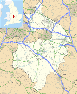
Flowers Wood
Appearance
| Flowers Wood | |
|---|---|
| Geography | |
| Location | Warwickshire, England |
| OS grid | SP223426 |
| Coordinates | 52°04′53″N 1°40′31″W / 52.0813°N 1.6754°W |
| Area | 1.67 hectares (4.13 acres) |
| Administration | |
| Governing body | Woodland Trust |
Flowers Wood is a community woodland near Ilmington in Warwickshire, England. It covers a total area of 1.67 hectares (4.13 acres). It is owned and managed by the Woodland Trust.[1] It was one of 200 "Woods on Your Doorstep" created by the Woodland Trust to mark the year 2000 in conjunction with the Millennium Commission, the Forestry Commission and the Sainsbury Family Charitable Trusts.
References
[edit]- ^ "Flowers Wood - a Woodland Trust Wood". Woodland Trust. Archived from the original on 24 December 2012. Retrieved 1 August 2012.

