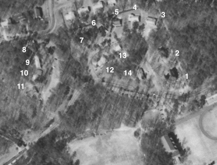
File:UR Fraternity Lodge map, 1968.tif
Appearance
UR_Fraternity_Lodge_map,_1968.tif (699 × 530 pixels, file size: 366 KB, MIME type: image/tiff)
File history
Click on a date/time to view the file as it appeared at that time.
| Date/Time | Thumbnail | Dimensions | User | Comment | |
|---|---|---|---|---|---|
| current | 16:07, 4 January 2022 |  | 699 × 530 (366 KB) | Bdl2001 | Uploaded a work by United States Geological Survey from https://earthexplorer.usgs.gov/scene/metadata/full/5e83d8e4870f4473/AR1VBYO00020088/ with UploadWizard |
File usage
The following page uses this file:


