El Malah District
Appearance
El Malah District
دائرة المالح | |
|---|---|
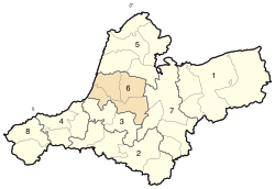
 District location within Aïn Témouchent province map | |
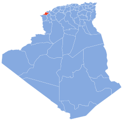
 Map of Algeria highlighting Aïn Témouchent Province | |
| Country | |
| Province | Aïn Témouchent |
| District seat | El Malah |
| Area | |
• Total | 233.95 km2 (90.33 sq mi) |
| Population (2010[1]) | |
• Total | 45,647 |
| • Density | 200/km2 (510/sq mi) |
| Time zone | UTC+01 (CET) |
| Municipalities | 4 |
El Malah is a district in Aïn Témouchent Province, Algeria. It was named after its capital, El Malah.
Municipalities
[edit]The district is further divided into 4 municipalities:
References
[edit]- ^ Wilaya d'Aïn Témouchent Archived August 27, 2010, at the Wayback Machine
