East Union, Noble County, Ohio


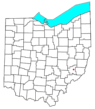
East Union is an unincorporated community in northwestern Stock Township, Noble County, Ohio, United States.[1] It lies at the intersection of State Route 78 with County Road 6. The headwaters of Buffalo Creek, a tributary of the Muskingum River through Wills Creek, are located around East Union. It is located 7 miles (10½ km) east of Caldwell, the county seat of Noble County.[2]
History
[edit]East Union was the site of the first permanent Roman Catholic settlement in Ohio. The community was founded in 1803 or 1804 under the name of "the Archer settlement" by several families, including one Catholic.[3] Originally, East Union was the north end of the Archer settlement, which extended southward to Crumtown.[4]
East Union was platted in 1856.[5]
References
[edit]- ^ U.S. Geological Survey Geographic Names Information System: East Union, Noble County, Ohio
- ^ DeLorme, Ohio Atlas & Gazetteer, 7th ed., Yarmouth, Maine, 2004, p. 71 ISBN 0-89933-281-1
- ^ Vol. 24, pg 226, Ohio History Archived 2007-09-29 at the Wayback Machine, Ohio Historical Society, April 1915. Accessed 2007-07-24.
- ^ Vol. 24, pg 229, Ohio History Archived 2007-09-29 at the Wayback Machine, Ohio Historical Society, April 1915. Accessed 2007-07-24.
- ^ History of Noble County, Ohio. L. H. Watkins. 1887. p. 455.
39°46′04″N 81°24′02″W / 39.76778°N 81.40056°W

