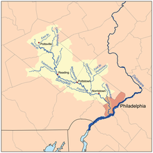
East Branch Perkiomen Creek
Appearance

East Branch Perkiomen Creek is a 24.5-mile-long (39.4 km)[1] tributary of Perkiomen Creek in southeast Pennsylvania in the United States.[2]
The East Branch Perkiomen Creek is born in Bucks County and joins Perkiomen Creek at Schwenksville in Montgomery County.[2]
Local road signs label the creek as Branch Creek.[2] The creek passes under the Mood's Covered Bridge in East Rockhill Township.
See also
[edit]References
[edit]- ^ U.S. Geological Survey. National Hydrography Dataset high-resolution flowline data. The National Map Archived 2012-03-29 at the Wayback Machine, accessed April 1, 2011
- ^ a b c Gertler, Edward. Keystone Canoeing, Seneca Press, 2004. ISBN 0-9749692-0-6
