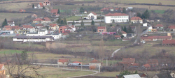
Dragobraća
Appearance
Dragobraća
Драгобраћа (Serbian) | |
|---|---|
 | |
 | |
| Country | |
| Time zone | UTC+1 (CET) |
| • Summer (DST) | UTC+2 (CEST) |
Dragobraća (Cyrillic: Драгобраћа ) is a settlement located in the Stanovo municipality, in the Šumadija District of Serbia.
The population of the village is 845 (2002 census).
43°58′38″N 20°49′27″E / 43.9772°N 20.8242°E
Wikimedia Commons has media related to Dragobraća.
