Dongyanshan Forest Recreation Area
Appearance
| Dongyanshan Forest Recreation Area Chinese: 東眼山國家森林遊樂區 | |
|---|---|
 | |
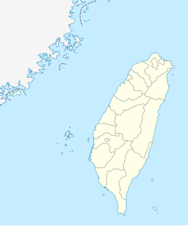
| Map | |
| Geography | |
| Location | Fuxing, Taoyuan City, Taiwan |
| Coordinates | 24°49′30.3″N 121°25′03.5″E / 24.825083°N 121.417639°E |
| Elevation | 650-1,212 meters |
| Area | 916 hectares |
Dongyanshan Forest Recreation Area (traditional Chinese: 東眼山國家森林遊樂區; simplified Chinese: 东眼山国家森林游乐区; pinyin: Dōngyǎn Shān Guójiā Sēnlín Yóulè Qū) is a forest located in Fuxing District, Taoyuan City, Taiwan.
History
[edit]The forest used to be the logging storage area for the Forestry Bureau.[1]
Geology
[edit]The forest spans over an area of 916 hectares and located at an altitude of 650–1,212 meters above sea level. It is also home to 43 species of mountain birds and mammals.[1] It features trekking paths with information boards.[2]
See also
[edit]References
[edit]- ^ a b "Dongyanshan Forest Recreation Area". Taiwan Forest Recreation. Retrieved 27 May 2021.
- ^ "Dongyanshan National Forest Recreation Area". Taiwan, the Heart of Asia. 9 February 2021. Retrieved 13 April 2022.

