Jump to content

Districts and neighbourhoods of Dalfsen

From Wikipedia, the free encyclopedia

The Dutch municipality Dalfsen is divided into districts and neighbourhoods for statistical purposes. The municipality is divided into the following statistical districts:

  • District 00 Dalfsen (kern) (CBS-neighbourhood code:014800)
  • District 01 Dalfsen - buitengebied (CBS-neighbourhood code:014801)
  • District 02 Oudleusen (CBS-neighbourhood code:014802)
  • District 03 Hoonhorst (CBS-neighbourhood code:014803)
  • District 04 Lenthe-2 (CBS-neighbourhood code:014804)
  • District 05 Kluinhaar (CBS-neighbourhood code:014805)
  • District 06 Lemelerveld (CBS-neighbourhood code:014806)
  • District 07 Leusenerveld (CBS-neighbourhood code:014807)

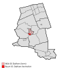
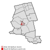
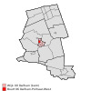
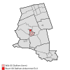
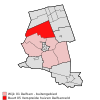
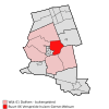
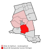
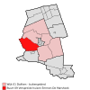
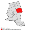
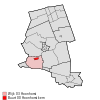
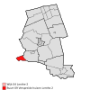
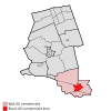
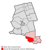
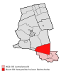
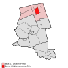
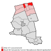
A statistical district may consist of several neighbourhoods. The table below shows the neighbourhood division with characteristic values according to the Statistics Netherlands (CBS, 2008):[1]

CBS-neighbourhood code Neighbourhood name Population Area total (ha) Area land (ha) Position
BU01480000 Dalfsen-Kom 450 20 18 Location in the municipality
BU01480001 Dalfsen-Vechtvliet 370 38 35 Location in the municipality
BU01480002 Dalfsen-Rondweg 280 60 57 Location in the municipality
BU01480003 Dalfsen-Pleijendal 1320 27 27 Location in the municipality
BU01480004 Dalfsen-Leemcule 470 22 22 Location in the municipality
BU01480005 Dalfsen-Polhaar-Oost 1300 27 27 Location in the municipality
BU01480006 Dalfsen-Polhaar-West 1080 24 24 Location in the municipality
BU01480007 Dalfsen-Ankummer-Es I 1120 23 23 Location in the municipality
BU01480008 Dalfsen-Ankummer-Es II 1320 27 27 Location in the municipality
BU01480100 Ankum-Kern 100 8 8 Location in the municipality
BU01480104 Verspreide huizen Ankum 620 1008 995 Location in the municipality
BU01480105 Verspreide huizen Dalfserveld 350 1577 1577 Location in the municipality
BU01480106 Verspreide huizen Gerner-Welsum 910 630 620 Location in the municipality
BU01480107 Verspreide huizen Rechteren-Hessum 450 1447 1433 Location in the municipality
BU01480108 Verspreide huizen Milligen 240 1285 1274 Location in the municipality
BU01480109 Verspreide huizen Emmen-De Marshoek 380 1095 1069 Location in the municipality
BU01480200 Oudleusen kern 400 15 15 Location in the municipality
BU01480209 Verspreide huizen Oudleusenerveld 810 1347 1337 Location in the municipality
BU01480300 Hoonhorst kern 620 44 44 Location in the municipality
BU01480309 Verspreide huizen Lenthe 480 992 990 Location in the municipality
BU01480409 Verspreide huizen Lenthe-2 80 199 196 Location in the municipality
BU01480509 Verspreide huizen Kluinhaar 0 112 110 Location in the municipality
BU01480600 Lemelerveld kern 3140 200 195 Location in the municipality
BU01480606 Miga, 't Zwarte, Koelen, Schanebroek 1 330 542 540 Location in the municipality
BU01480607 Schanebroek 2 en Wolthaarshoek 160 295 293 Location in the municipality
BU01480608 Verspreide huizen Strenkhaar 430 622 619 Location in the municipality
BU01480609 Verspreide huizen Dalmsholte 470 1186 1179 Location in the municipality
BU01480700 Nieuwleusen-Zuid 2790 251 251 Location in the municipality
BU01480701 Nieuwleusen-Noord 3060 181 171 Location in the municipality
BU01480705 Verspreide huizen Nieuwleusen-Zuid (gedeeltelijk) 1150 516 514 Location in the municipality
BU01480706 Verspreide huizen Nieuwleusen-Noord (gedeeltelijk) 440 398 397 Location in the municipality
BU01480707 Verspreide huizen Ruitenveen 490 819 818 Location in the municipality
BU01480708 Verspreide huizen De Meele 620 634 628 Location in the municipality
BU01480709 Veenekampen-De Ruiten 490 982 981 Location in the municipality

References

[edit]
  1. ^ "Centraal Bureau voor de Statistiek". 6 June 2015. Archived from Digitale publicatie wijk- en buurtkaart, 2008 the original on 20 May 2015. Retrieved 6 June 2015. {{cite web}}: Check |url= value (help)