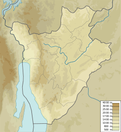
Commune of Gitobe
Appearance
Commune of Gitobe | |
|---|---|
| Coordinates: 2°39′39″S 30°14′42″E / 2.66083°S 30.24500°E | |
| Country | |
| Province | Kirundo Province |
| Administrative center | Gitobe |
| Time zone | UTC+2 (Central Africa Time) |
The Commune of Gitobe is a commune of Kirundo Province in northern Burundi.[1]
Location
[edit]The Commune of Gitobe has an area of 180.2 square kilometres (69.6 sq mi) and had a population of 57,326 as of the 2008 census.[2]
Administrative divisions
[edit]The capital lies at Gitobe.
Gitobe is divided into 20 collines, from north to south:[3]
- Shore
- Bigombo
- Rungazi
- Santunda
- Gahosha
- Butahana
- Gasuga
- Bucana
- Gihinga
- Butihinda
- Marembo
- Baziro
- Burwana
- Cumba
- Kivumu
- Mirwa
- Ruhongore
- Tonga
- Nyenzi
- Ngoma
References
[edit]Sources
[edit]- "BURUNDI: Administrative Division", City Population, retrieved 2024-06-10
- "Burundi / Kirundo / Gitobe", GADM, retrieved 2024-06-13
- United States. Foreign Broadcast Information Service (1982). Sub-Saharan Africa report. Foreign Broadcast Information Service. Retrieved 20 April 2012.

