Bremnestua
Appearance
| Bremnestuva Bremnestua | |
|---|---|
| Bremnesstuva | |
| Highest point | |
| Elevation | 74 m (243 ft) |
| Coordinates | 63°44′43″N 8°40′18″E / 63.7454°N 08.6718°E[1] |
| Geography | |
| Location | Trøndelag, Norway |
| Climbing | |
| Easiest route | Road |
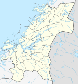
Bremnestuva or Bremnestua is a small mountain in the municipality of Frøya in Trøndelag county, Norway. The 74-metre (243 ft) tall mountain lies on the northwest side of the island of Frøya. There is a road to the top of the mountain where there is a water tank, a mobile telephone tower, and a great view.[2]
Bremnestuva is located about 8 kilometres (5.0 mi) northwest of the municipal center of Sistranda, about 8 kilometres (5.0 mi) northeast of the village of Storhallaren, and about 10 kilometres (6.2 mi) southwest of the village of Svellingen. Bremnestuva is just a few meters lower than the highest point of Frøya which is the 76-metre (249 ft) tall Besselvassheia.
References
[edit]- ^ "Bremnestuva, Frøya (Trøndelag)" (in Norwegian). yr.no. Retrieved 2018-02-19.
- ^ "Frøya - The islands against the big ocean!". trondelagskysten.no. Archived from the original on 2011-07-24. Retrieved 2010-11-17.


