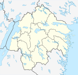
Boren (Sweden)
Appearance
This article relies largely or entirely on a single source. (April 2019) |
| Boren | |
|---|---|
 | |
 | |
| Location | Östergötland |
| Coordinates | 58°34′N 15°10′E / 58.567°N 15.167°E |
| Basin countries | Sweden |
| Surface area | 28 km2 (11 sq mi) |
| Max. depth | 14 m (46 ft) |
| Surface elevation | 73 m (240 ft) |
Boren (Swedish pronunciation: [ˈbûːrɛn])[1] is a lake in Östergötland, east of Motala, 73 m above sea level. It covers an area of 28 km² and is at most 14 meters deep. It forms a part of the Göta Canal and has given its name to Borensberg.
References
[edit]- ^ Jöran Sahlgren; Gösta Bergman (1979). Svenska ortnamn med uttalsuppgifter (in Swedish). p. 5.


