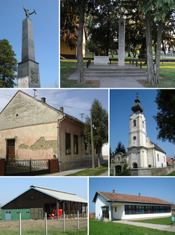
Bolman
Appearance
Bolman
| |
|---|---|
 | |
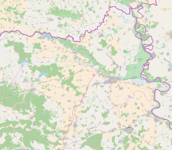
| Coordinates: 45°43′19″N 18°31′02″E / 45.72193°N 18.51714°E | |
| Country | |
| County | |
| Municipality | Jagodnjak |
| Government | |
| • Body | Local Committee |
| Area | |
• Total | 34.1 km2 (13.2 sq mi) |
| Population (2021)[3] | |
• Total | 368 |
| • Density | 11/km2 (28/sq mi) |
| Time zone | UTC+1 (CET) |
| • Summer (DST) | UTC+2 (CEST) |
| Official languages | Croatian, Serbian[1] |

Bolman (Serbian Cyrillic: Болман,[4] Hungarian: Bolmány) is a settlement in the region of Baranja, Croatia. Administratively, it is located in the Jagodnjak municipality within the Osijek-Baranja County. Population is 450 people.
History
[edit]From March 6 till March 24, 1945, during World War II, near Bolman was waged battle between Yugoslav Army and Red Army on one side and German army on the other side.
Demographics
[edit]1991
[edit]- Serbs: 586 (79,08%)
- Croats: 86 (11,60%)
- Yugoslavs: 33 (4,45%)
- Hungarians: 5 (0,67%)
- Others, unknown: 31 (4,18%)
See also
[edit]Wikimedia Commons has media related to Bolman.
References
[edit]- ^ a b Government of Croatia (October 2013). "Peto izvješće Republike Hrvatske o primjeni Europske povelje o regionalnim ili manjinskim jezicima" (PDF) (in Croatian). Council of Europe. p. 36. Retrieved 30 November 2016.
- ^ Register of spatial units of the State Geodetic Administration of the Republic of Croatia. Wikidata Q119585703.
- ^ "Population by Age and Sex, by Settlements" (xlsx). Census of Population, Households and Dwellings in 2021. Zagreb: Croatian Bureau of Statistics. 2022.
- ^ "Registar Geografskih Imena Nacionalnih Manjina Republike Hrvatske" (PDF). Archived from the original (PDF) on 2013-10-29. Retrieved 2013-03-08.


