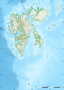
Blomstrandbreen
Appearance
| Blomstrandbreen | |
|---|---|
 | |
| Type | Glacier |
| Location | Haakon VII Land Spitsbergen, Svalbard |
| Coordinates | 79°03′58″N 12°22′53″E / 79.0662°N 12.3815°E |
| Length | 18 kilometres |
Blomstrandbreen is a glacier in Haakon VII Land at the western side of Spitsbergen, Svalbard. It has a length of 18 kilometres, extending from Isachsenfonna down to Kongsfjorden. The glacier is named after geologist Christian Wilhelm Blomstrand.[1][2] To the northwest of the glacier is the mountain area of Mercantonfjellet.[3] Overall, the Blomstrandbreen glacier has retreated over 2 kilometers since 1928 and more than 3 kilometers since 1861.[4]
References
[edit]- ^ "Blomstrandbreen (Svalbard)". Norwegian Polar Institute. Archived from the original on 28 February 2017. Retrieved 4 March 2013.
- ^ Lauritzen, Per Roger, ed. (2009). "Blomstrandbreen". Norsk Fjelleksikon (in Norwegian). Arendal: Friluftsforlaget. ISBN 978-82-91-49547-7.
- ^ Lauritzen, Per Roger, ed. (2009). "Mercantonfjellet". Norsk Fjelleksikon (in Norwegian). Arendal: Friluftsforlaget. ISBN 978-82-91-49547-7.
- ^ Burton, David J.; Benson, Dowdeswell J. A.; Hogan, Kelly A.; Hogan, Kelly A.; Noormets, Riko (5 January 2018). "Marginal fluctuations of a Svalbard surge-Type tidewater glacier, Blomstrandbreen, since the Little Ice Age: a record of three surges". Arctic, Antarctic, and Alpine Research. 48 (2). doi:10.1657/AAAR0014-094.
Wikimedia Commons has media related to Blomstrandbreen.

