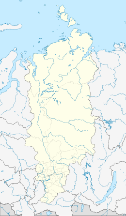
Blizky Island
Native name: остров Близкий | |
|---|---|
Blizky Island in Krasnoyarsk Krai, Russia | |
| Geography | |
| Location | Near Bolshevik Island |
| Coordinates | 78°52′N 104°43′E / 78.87°N 104.71°E |
| Archipelago | Severnaya Zemlya |
| Highest elevation | 6 m (20 ft) |
| Highest point | unnamed |
| Administration | |
Russia | |
| Federal subject | Krasnoyarsk Krai |
Blizky Island (Russian: остров Близкий)[1] is an island that is part of the Russian Severnaya Zemlya in the Laptev Sea. Administratively it is part of the district of the Krasnoyarsk Krai Taymyr in Siberian Federal District.
Geography
[edit]The island is situated in the eastern part of the archipelago, in the east coast of Bolshevik Island, separated from it by a narrow channel.[2] Blizky lies in the northern part of Neudach Bay (бухта Неудач) close to the mouth of the Neogidannoi River (река Неожиданной). To the northeast, at a distance of 4 km, lies the island named Morskoy.
Blizky has a rounded shape with a diameter of just over 2 km, its height does not exceed 6 m. In the north-west, near the coast, there is a small lagoon. At the north is a geodetic point.
See also
[edit]References
[edit]- ^ Russian map T-48-VII,VIII,IX - Т-47,48
- ^ "Ostrov Neudach". Mapcarta. Retrieved 21 December 2016.

