Big Rous Holt
Appearance
This article needs additional citations for verification. (September 2016) |
| Little Rous Holt | |
|---|---|
| Geography | |
| Location | Lincolnshire, England |
| Coordinates | 53°10′12″N 0°9′45″W / 53.17000°N 0.16250°W |
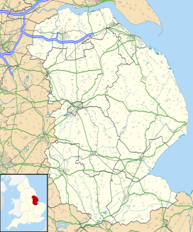
Big Rous Holt is a small woodland beside the B1191 (Horncastle Road) to the north east of the village of Woodhall Spa in Lincolnshire[1] on Roughton Moor. To its south west is Little Rous Holt, and bordering it to the north east is Roughton Scrubs.

