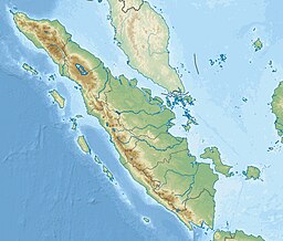
Berhala Strait
Appearance
| Berhala Strait | |
|---|---|
| Selat Berhala (Indonesian) | |
| Coordinates | 00°48′S 104°25′E / 0.800°S 104.417°E |
| Type | strait |
| Basin countries | Indonesia |
| References | Selat Berhala: Indonesia National Geospatial-Intelligence Agency, Bethesda, MD, USA |
Berhala Strait is a strait which separates the island of Sumatra and Singkep in the Natuna Sea (South China Sea), Indonesia.
Berhala island in the strait, attribution has been contested by Riau Islands and Jambi province.[1]
See also
[edit]Notes
[edit]

