Balpakram National Park
This article needs additional citations for verification. (December 2009) |
| Balpakram National Park | |
|---|---|
 Balpakram Canyon | |
| Location | South Garo Hills of Meghalaya |
| Nearest city | Baghmara |
| Coordinates | 25°25′N 90°52′E / 25.417°N 90.867°E |
| Area | 220 km2 (85 sq mi) |
| Established | 27 December 1987 |
| Governing body | Government of Meghalaya, Government of India |
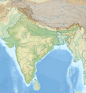
Balpakram National Park is a national park in South Garo Hills in Meghalaya, India, located at an elevation of about 910 m (3,000 ft) close to the international border with Bangladesh. It was inaugurated in December 1987 and provides habitat for barking deer, Asian golden cat, Bengal tiger, marbled cat, wild water buffalo, red panda and Indian elephant. Balpakram means "land of the eternal wind" according to the myth of the Garo people.
UNESCO tentative list
[edit]The Central government of India has nominated the Garo Hills Conservation Area (GHCA), straddling South and West Garo Hills district in Meghalaya, as a World Heritage Site, which includes Balpakram National Park.[1][2] It has been listed in UNESCO World Heritage tentative list.[3]
Flora and fauna
[edit]This section needs additional citations for verification. (May 2019) |
Balpakram National Park is home to wide species of plants and animals. Its vegetation consists of subtropical, grassland, bamboo forest, tropical deciduous trees and carnivorous plants like the pitcher-plant and Drosera.
Species recorded include Indian elephant, chital deer, wild water buffalo, red panda, Bengal tiger, and marbled cat. The rivers and lakes in the wildlife reserve are home to various species of birds.
Balpakram myths
[edit]
A Schima wallichii tree has a depression on its trunk. Local people believe that it was caused by spirits that take rest here on their way to their abode of the dead and tether animals killed on their funeral.
Visitor information
[edit]The best time to visit Balpakram National Park is from late October to May, when the weather is pleasant without rainfall. The park can be reached from Shillong by road from Guwahati airport to Tura and Baghmara. Entry fees will have to be paid at the park's gate.[citation needed]
References
[edit]- ^ "Garo hills in queue for world heritage tag". The Telegraph India. 22 September 2018. Retrieved 12 November 2018.
- ^ "UNESCO World Heritage Site opportunity for Garo Hills Conservation Area". The Shillong Times. 23 September 2018. Archived from the original on 12 November 2018. Retrieved 12 November 2018.
- ^ "Garo Hills Conservation Area (GHCA)". UNESCO World Heritage Centre. Retrieved 12 November 2018.

