Bakaninbreen
Appearance
| Bakaninbreen | |
|---|---|
 Bakaninbreen merges with Paulabreen before the combined glacier debouches into the bay of Rindersbukta. | |
| Type | Glacier |
| Location | Heer Land Spitsbergen, Svalbard |
| Coordinates | 77°45′50″N 17°30′00″E / 77.764°N 17.500°E |
| Length | 9.5 kilometers |
| Terminus | Rindersbukta |
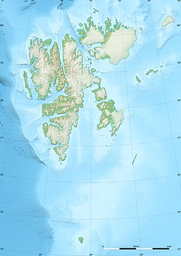
Bakaninbreen is a glacier in Heer Land at Spitsbergen, Svalbard. It has a length of about 9.5 kilometers, and merges with the glacier of Paulabreen. The glacier is named after a member of the Swedish-Russian Arc-of-Meridian Expedition.[1] The mountain of Hollertoppen is located between Bakaninbreen and Ragna-Mariebreen.[2]
References
[edit]- ^ "Bakaninbreen (Svalbard)". Norwegian Polar Institute. Retrieved 22 September 2014.
- ^ "Hollertoppen (Svalbard)". Norwegian Polar Institute. Retrieved 22 September 2014.

