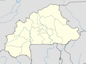
Baka, Burkina Faso
Appearance
Baka, Burkina Faso | |
|---|---|
| Coordinates: 13°18′14″N 0°02′45″W / 13.3038°N 0.0458°W | |
| Country | |
| Region | Est Region |
| Province | Gnagna Province |
| Department | Coalla Department |
| Population (2005 est.) | |
• Total | 576 |
Baka is a village in the Coalla Department of Gnagna Province in eastern Burkina Faso. The village has a population of 576.[1][2] ⑨
Geography
[edit]Baka, an agro-pastoral locality scattered in several residential centers, is 15 km southeast of Coalla.
Health and Education
[edit]The nearest health center in Baka is the Health and Social Promotion Centre (HSPC) in Boukargou.[3]
References
[edit]- ^ Burkinabé government inforoute communale Archived 2010-03-24 at the Wayback Machine
- ^ "List of villages in Burkina Faso - 2006 census" (in French). Archived from the original on 2021-02-25. Retrieved 2019-01-04.
- ^ "Carte sanitaire 2010" (PDF) (in French). Archived from the original on 2021-11-16.


