Arderin
Appearance
| Arderin | |
|---|---|
 Arderin from the Glendine Gap | |
| Highest point | |
| Elevation | 527 m (1,729 ft)[1][2] |
| Prominence | 420 m (1,380 ft)[1][2] |
| Listing | County Top (Laois and Offaly), Marilyn |
| Coordinates | 53°02′17″N 7°39′14″W / 53.03806°N 7.65389°W[1] |
| Naming | |
| Native name | Ard Éireann |
| English translation | Ireland's Height |
| Geography | |
| Parent range | Slieve Bloom Mountains |
| OSI/OSNI grid | S232989 |
| Topo map | OSi Discovery 54 |
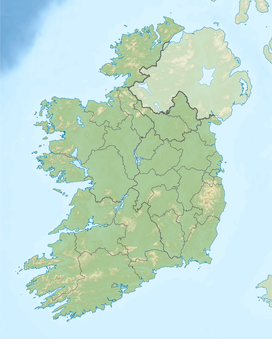
Arderin (Irish: Ard Éireann, meaning 'Ireland's height') is a mountain on the border between counties Laois and Offaly in Ireland. With a height of 527 metres (1,729 ft) it is the highest point in the Slieve Bloom Mountains, and is the highest point in both counties.[2]
An Arderin is also a descriptive word for a specific category of Irish mountains in the series of lists maintained by Irish mountain database, MountainViews; those over 500m with a prominence of at least 30m.[3] This list, along with other complementary ones, has been published in book form by Collins Press.[4] Mountainviews.ie classifies a mountain as being above 500m, but also maintains a number of lists of hills below this threshold.[3]
See also
[edit]- Lists of mountains in Ireland
- List of Irish counties by highest point
- List of mountains of the British Isles by height
- List of Marilyns in the British Isles
References
[edit]- ^ a b c "Arderin". Peakbagger.com. Retrieved 24 December 2014.
- ^ a b c "Arderin". MountainViews. Retrieved 2 June 2019.
- ^ a b "Mountain Views". MountainViews. Retrieved 24 December 2014.
- ^ Mountainviews, (2013), "A Guide to Ireland's Mountain Summits: The Vandeleur-Lynams & the Arderins", Collins Books, Cork, ISBN 978-1-84889-164-7


