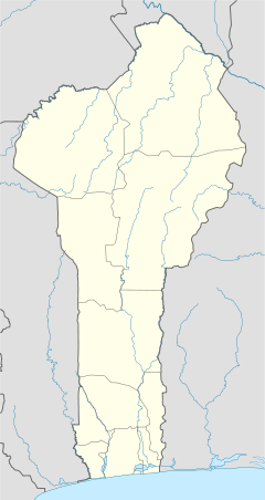
Arbonga
Appearance
Arbonga | |
|---|---|
Village | |
| Coordinates: 11°22′49″N 02°26′04″E / 11.38028°N 2.43444°E | |
| Country | |
| Department | Alibori Department |
| Commune | Banikoara |
| Arrondissement | Banikoara |
| Population | |
• Total | 2,512 |
| Time zone | UTC+1 (WAT) |
Arbonga is a village in the commune of Banikoara in the Alibori Department of northern Benin.[2]
References
[edit]- ^ "Point Des Realisations Par Village" (PDF). Direction Générale de l'Eau du Benin. Archived from the original (PDF) on 6 July 2011. Retrieved 18 January 2011.
- ^ "Liste Des Forages Et Puits Modernes Realises En 2009" (PDF). Direction Générale de l'Eau du Benin. Retrieved 18 January 2011.[permanent dead link]

