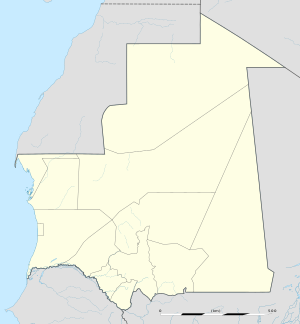
Arafat, Mauritania
Appearance
Arafat | |
|---|---|
Commune and city | |
| Coordinates: 18°2′47″N 15°58′19″W / 18.04639°N 15.97194°W | |
| Country | |
| Region | Nouakchott-Sud |
| Area | |
• Total | 2.274 sq mi (5.890 km2) |
| Population (2013 census) | |
• Total | 216,919 |
| • Density | 95,000/sq mi (37,000/km2) |
| Time zone | UTC+0 (GMT) |
Arafat is a suburb of Nouakchott and urban commune in western Mauritania. It is the capital of Nouakchott-Sud Region[1] and had a population of 216,919 in 2023.[2]
References
[edit]- ^ "Nouakchott donne naissance à trois Wilaya". MauriWeb. 25 November 2014. Archived from the original on 15 July 2015. Retrieved 14 June 2015.
- ^ "Araffat (City District, Mauritania) - Population Statistics, Charts, Map and Location". www.citypopulation.de. Retrieved 2024-02-15.

