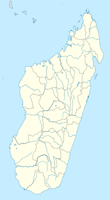
Analalava Airport
Appearance
Analalava Airport | |||||||||||
|---|---|---|---|---|---|---|---|---|---|---|---|
| Summary | |||||||||||
| Airport type | Public/Military | ||||||||||
| Operator | ADEMA (Aéroports de Madagascar) | ||||||||||
| Serves | Analalava | ||||||||||
| Location | Analalava, Madagascar | ||||||||||
| Elevation AMSL | 345 ft / 105 m | ||||||||||
| Coordinates | 14°37′47″S 47°45′50″E / 14.62972°S 47.76389°E | ||||||||||
| Map | |||||||||||
 | |||||||||||
| Runways | |||||||||||
| |||||||||||
Analalava Airport is an airport in Analalava, Madagascar (IATA: HVA, ICAO: FMNL). It is at Latitude -14.6296997 Longitude 47.7638016 with Runway 1 length of 3937 feet.[2] The airport has a field elevation of 345 feet and a magnetic variation of 10.286°W it is a regional airport that has scheduled airline service.[3]
References
[edit]- ^ "Airport Information". Airport Guide. Retrieved 1 July 2015.
- ^ "Analalava - Madagascar". World Airport Codes. Retrieved 2018-08-21.
- ^ "HVA pilot info @ OurAirports". ourairports.com. Retrieved 2018-08-21.

