Amyrus
Appearance

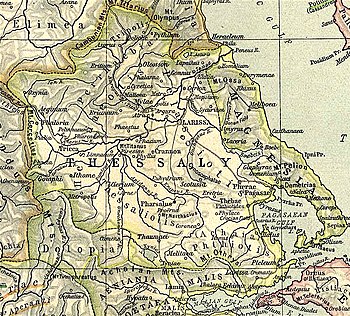
Amyrus or Amyros (Ancient Greek: Ἄμυρος)[1] was a town and polis (city-state) in Ancient Thessaly,[2] in the western part of Magnesia,[3] situated on a river of the same name falling into the lake Boebēis. It is mentioned by Hesiod as the "vine-bearing Amyrus."[4] The surrounding country is called the Amyric plain (τὸ Ἀμυρικὸν πέδιον) by Polybius.[5] Modern scholas identify the location of Amyrus at a place called Palaiokastro (old fort) at the modern village of Gerakari.[6][7]
References
[edit]- ^ Stephanus of Byzantium. Ethnica. Vol. s.v.
- ^ Mogens Herman Hansen & Thomas Heine Nielsen (2004). "Thessaly and Adjacent Regions". An inventory of archaic and classical poleis. New York: Oxford University Press. p. 718. ISBN 0-19-814099-1.
- ^ Gustav Hirschfeld: Amyros 1.(in German) In: Realencyclopädie der classischen Altertumswissenschaft (RE). Vol. I,2, Stuttgart 1894, col. 2011.
- ^ Hesiod in Strabo. Geographica. Vol. IX, p. 442. Page numbers refer to those of Isaac Casaubon's edition.
- ^ Polybius. The Histories. Vol. 5.99.
- ^ Richard Talbert, ed. (2000). Barrington Atlas of the Greek and Roman World. Princeton University Press. p. 55, and directory notes accompanying. ISBN 978-0-691-03169-9.
- ^ Lund University. Digital Atlas of the Roman Empire.
![]() This article incorporates text from a publication now in the public domain: Smith, William, ed. (1854–1857). "Amyrus". Dictionary of Greek and Roman Geography. London: John Murray.
This article incorporates text from a publication now in the public domain: Smith, William, ed. (1854–1857). "Amyrus". Dictionary of Greek and Roman Geography. London: John Murray.
39°39′37″N 22°41′36″E / 39.660329°N 22.693428°E
