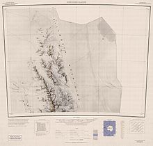
Allen Peak


Allen Peak (77°34′S 86°51′W / 77.567°S 86.850°W) is a 1,880-metre (6,170 ft) peak in Antarctica, standing 5 nautical miles (9 km) west of Mount Wyatt Earp and forming the northern extremity of the main ridge of the Sentinel Range. It was discovered by Lincoln Ellsworth on his trans-Antarctic flight of 23 November 1935, and named by the Advisory Committee on Antarctic Names after Robert J. Allen Jr., a United States Geological Survey (USGS) cartographer and Antarctic specialist, 1950–79, a consultant to the USGS Branch of International Activities from 1980, and a member of the Branch of Special Maps, who helped prepare the 1962 map of this range.[1]
See also
[edit]References
[edit]- ^ "Allen Peak". Geographic Names Information System. United States Geological Survey, United States Department of the Interior. Retrieved 8 May 2011.
![]() This article incorporates public domain material from "Allen Peak". Geographic Names Information System. United States Geological Survey.
This article incorporates public domain material from "Allen Peak". Geographic Names Information System. United States Geological Survey.

