Allahuekber Mountains
| Allahuekber Mountains | |
|---|---|
 View of mountains | |
| Highest point | |
| Elevation | 3.120 m (10.24 ft) |
| Coordinates | 40°34′05″N 42°31′53″E / 40.5681°N 42.5315°E |
| Dimensions | |
| Length | 40 km (25 mi) |
| Width | 20 km (12 mi) |
| Geography | |
| Location | Kars Province, Ardahan Province, Erzurum Province, Turkey |
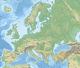
Allahuekber Mountains (Turkish: Allahuekber Dağları, which means "Allahu akbar Mountains"), is a mountain range in northeastern Turkey. It is located on the border of Erzurum, Kars and Ardahan provinces.[1] It is part of the Pontic Mountains.[citation needed]
When World War I began in 1914, the range was astride the border between the Ottoman Empire and the Russian Empire. Turkish troops suffered a disaster during the Battle of Sarikamish, when they were ordered to recapture the Kars area, which was then part of the Russian Empire. Thousands of Turkish soldiers died of hypothermia in the winter snow of the Allahuekber Mountains.[2]
In January 2022 a statue in memory of Ottoman soldiers that froze to death in WWI was unveiled in Sarıkamış district.[3]
References
[edit]- ^ "Allahuekber Dağları" (PDF). Doğa Derneği. p. 1.
- ^ Eugene Rogan (10 March 2015). The Fall of the Ottomans: The Great War in the Middle East. Basic Books. p. 85. ISBN 978-0-465-05669-9.
- ^ "Statue in memory of Turkish soldiers that froze to death in WWI unveiled - Turkey News". Hürriyet Daily News. 10 January 2022. Retrieved 2022-05-03.


