Øvre Pasvik Landscape Protection Area
Appearance
| Øvre Pasvik Landscape Protection Area | |
|---|---|
| Øvre Pasvik landskapsvernområde | |
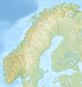
Map of Norway | |
| Location | Sør-Varanger Municipality, Finnmark, Norway |
| Coordinates | 69°04′48″N 29°06′50″E / 69.080°N 29.114°E[1] |
| Area | 54.6 km2 (21.1 sq mi) |
| Established | 2003 |
Øvre Pasvik Landscape Protection Area (Norwegian: Øvre Pasvik landskapsvernområde), is located in the Pasvikdalen valley in Sør-Varanger Municipality in Finnmark county, Norway. The landscape protection area was established in 2003, and covers an area of 54.6 km2 (21.1 sq mi). At the same time the adjacent Øvre Pasvik National Park was extended from 66 to 119 square kilometres (25 to 46 sq mi).[2][3]
References
[edit]- ^ "Øvre Pasvik Protected Landscape". protectedplanet.net.
- ^ Lauritzen, Per Roger, ed. (2009). "Øvre Pasvik landskapsvernområde". Norsk Fjelleksikon (in Norwegian). Friluftsforlaget. ISBN 978-82-91-49547-7.
- ^ "Øvre Pasvik nasjonalpark utvidet mot Russland og Finland". Press Release (in Norwegian). Ministry of the Environment. 29 August 2003. Retrieved 1 September 2012.

