M3 highway (Russia)
Appearance
(Redirected from Russian route M3)
You can help expand this article with text translated from the corresponding article in Russian. Click [show] for important translation instructions.
|
| Federal Highway M3 | ||||
|---|---|---|---|---|
| Федеральная автомобильная дорога М3 | ||||
| Ukraine Highway | ||||
 | ||||
| Route information | ||||
| Part of | ||||
| Length | 490 km (300 mi) | |||
| Existed | 1976–present | |||
| Major junctions | ||||
| West end | Ukrainian border | |||
| East end | ||||
| Location | ||||
| Country | Russia | |||
| Highway system | ||||
| ||||
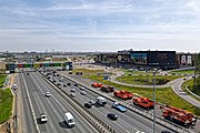
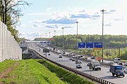
The Russian route M3 (also known as the Ukraine Highway) is a major trunk road that runs across a distance of about 490 kilometres from Moscow to Russia's border with Ukraine.
The highway starts at the crossing of Leninsky Prospekt and Moscow Ring Road as Kiyevskoye Highway, passes south of Solntsevo and Vnukovo, then continues westward through Kaluga, Bryansk and Sevsk to the Ukrainian border. After crossing the border, the road continues as the Ukrainian M02 route to Kyiv.[citation needed]
The M3 is covered by the European Road E101 (Moscow-Bryansk-Hlukhiv-Kipti), also the short section, near Russo-Ukrainian border in Kalinovka is a part of E391.


