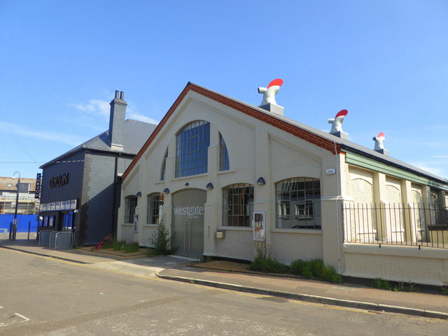
File:Westgate Hall, Canterbury geograph-5056135-by-pam-fray.jpg
Appearance
Westgate_Hall,_Canterbury_geograph-5056135-by-pam-fray.jpg (640 × 480 pixels, file size: 60 KB, MIME type: image/jpeg)
File history
Click on a date/time to view the file as it appeared at that time.
| Date/Time | Thumbnail | Dimensions | User | Comment | |
|---|---|---|---|---|---|
| current | 09:44, 4 June 2021 |  | 640 × 480 (60 KB) | Storye book | == {{int:filedesc}} == {{Information |Description={{en|1=Westgate Hall, Canterbury. In Westgate Hall Road. It was originally built as a drill hall and is now a hundred-year-old community hall and dance hall in a Conservation area.}} |Source=From [https://www.geograph.org.uk/photo/5056135 geograph.org.uk] |Date=2016-07-31 |Author=[https://www.geograph.org.uk/profile/18934 pam fray] |Permission=Creative Commons Attribution Share-alike license 2.0 |Other fields={{Credit line |Author=pam fray |... |
File usage
The following page uses this file:


