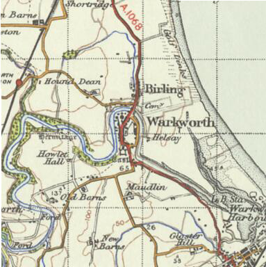
File:Warkworth 1945 OS map.png
Appearance
Warkworth_1945_OS_map.png (383 × 384 pixels, file size: 268 KB, MIME type: image/png)
File history
Click on a date/time to view the file as it appeared at that time.
| Date/Time | Thumbnail | Dimensions | User | Comment | |
|---|---|---|---|---|---|
| current | 20:31, 2 December 2011 |  | 383 × 384 (268 KB) | Nev1 | {{Information |Description=OS map of Warkworth in 1945. Scale 1:63360 (ie: one inch to one mile) |Source=Ordnance Survey New Popular Edition, sheet 71 – Alnwick. Published by the Ordnance Survey of Great Britain in 1945, hosted by [http://visionofbr |
File usage
The following page uses this file:
Global file usage
The following other wikis use this file:
- Usage on de.wikipedia.org
- Usage on fr.wikipedia.org


