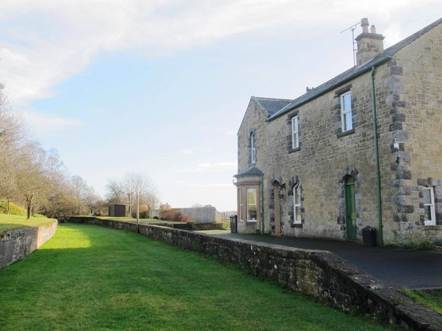
File:Wark - geograph-3823151-by-Mike-Quinn.jpg
Appearance
Wark_-_geograph-3823151-by-Mike-Quinn.jpg (640 × 480 pixels, file size: 60 KB, MIME type: image/jpeg)
File history
Click on a date/time to view the file as it appeared at that time.
| Date/Time | Thumbnail | Dimensions | User | Comment | |
|---|---|---|---|---|---|
| current | 14:21, 2 December 2020 |  | 640 × 480 (60 KB) | Lamberhurst | == {{int:filedesc}} == {{Information |Description={{en|1=<b>The former Wark station</b><br>The former Border Counties Railway ran between Hexham and Riccarton Junction. Wark station opened in 1860. It was closed to passenger traffic in 1956, and closed completely in 1958. The station was situated about a mile east of the village, and on the "wrong" side of the narrow bridge across the River North Tyne - see NY8677 : Wark Road Bridge and [[:Fi... |
File usage
The following page uses this file:
Global file usage
The following other wikis use this file:
- Usage on www.wikidata.org


