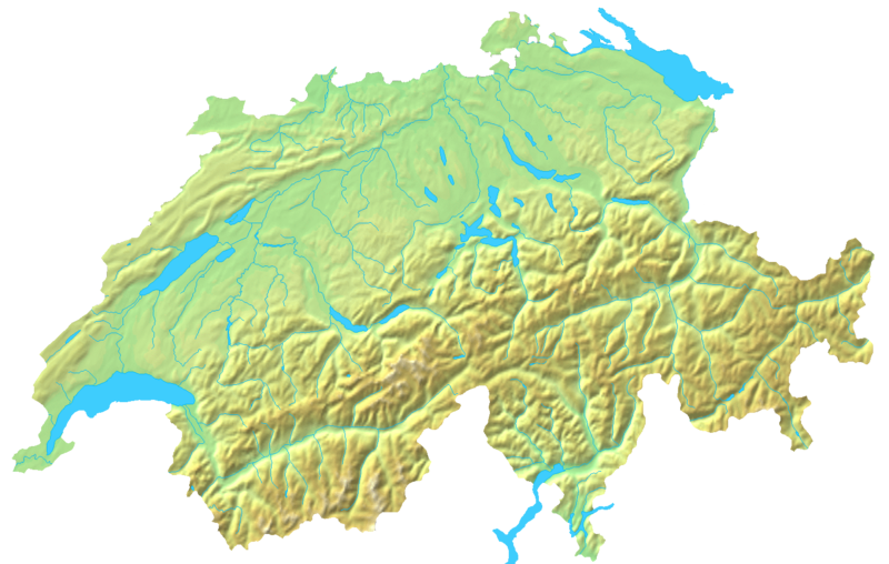
File:Switzerland topographic.png
Appearance

Size of this preview: 800 × 508 pixels. Other resolutions: 320 × 203 pixels | 640 × 407 pixels | 1,024 × 651 pixels | 1,508 × 958 pixels.
Original file (1,508 × 958 pixels, file size: 1.74 MB, MIME type: image/png)
File history
Click on a date/time to view the file as it appeared at that time.
| Date/Time | Thumbnail | Dimensions | User | Comment | |
|---|---|---|---|---|---|
| current | 19:05, 16 April 2007 |  | 1,508 × 958 (1.74 MB) | Numerus Klausus | {{Information |Description=Blanc topographic Map of Switzerland / Relief-Karte der Schweiz (blanko) |Source= Map created from [http://www2.demis.nl/mapserver/mapper.asp DEMIS Mapserver], which are public domain. |Date= 2007 |Author= [[User:Numerus Klausus |
File usage
The following page uses this file:
Global file usage
The following other wikis use this file:
- Usage on fr.wikipedia.org
- Usage on uk.wikipedia.org
- Usage on zh.wikipedia.org
