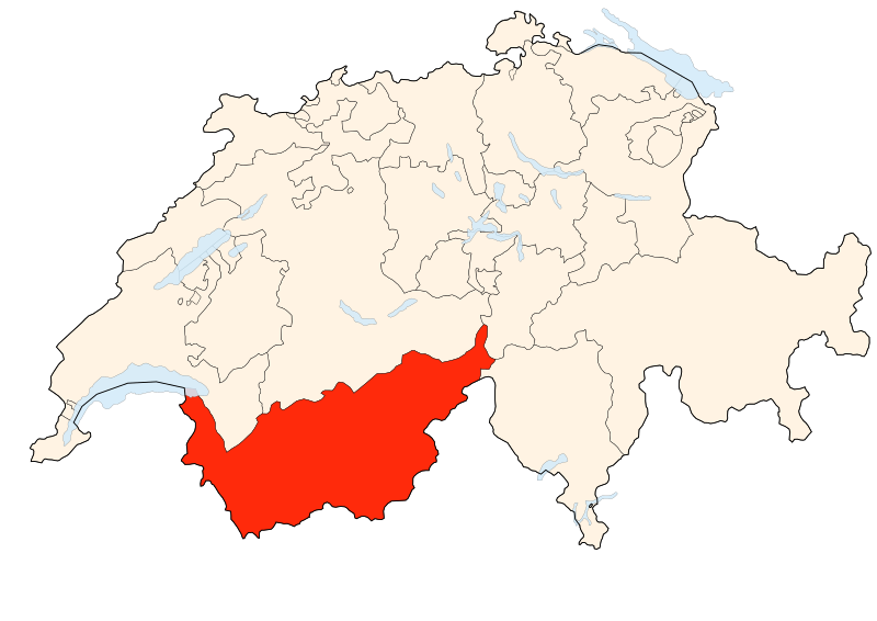
File:Switzerland Locator Map VS.svg
Appearance

Size of this PNG preview of this SVG file: 800 × 566 pixels. Other resolutions: 320 × 226 pixels | 640 × 453 pixels | 1,024 × 724 pixels | 1,280 × 905 pixels | 2,560 × 1,810 pixels | 1,052 × 744 pixels.
Original file (SVG file, nominally 1,052 × 744 pixels, file size: 213 KB)
File history
Click on a date/time to view the file as it appeared at that time.
| Date/Time | Thumbnail | Dimensions | User | Comment | |
|---|---|---|---|---|---|
| current | 21:24, 28 January 2023 |  | 1,052 × 744 (213 KB) | Espandero | corr SH/ZH frontier |
| 16:15, 30 November 2008 |  | 1,052 × 744 (264 KB) | Poulpy | == Summary == {{Information |Description={{en|1=Locator map for canton of Valais in Switzerland}} |Source=Own work, based on Image:Suisse cantons.svg |Author=Poulpy |Date=2008/30/11 |Permission= |other_versions= }} [[Category:Locator |
File usage
The following page uses this file:
Global file usage
The following other wikis use this file:
- Usage on br.wikipedia.org
- Usage on da.wikipedia.org
- Usage on es.wikipedia.org
- Usage on frp.wikipedia.org
- Usage on fr.wikipedia.org
- Usage on fr.wikiversity.org
- Usage on gd.wikipedia.org
- Usage on hu.wikipedia.org
- Usage on ja.wikipedia.org
- Usage on krc.wikipedia.org
- Usage on li.wikipedia.org
- Usage on lv.wikipedia.org
- Usage on mr.wikipedia.org
- Usage on nap.wikipedia.org
- Usage on nl.wikipedia.org
- Usage on pl.wikipedia.org
- Usage on simple.wikipedia.org
- Usage on sl.wikipedia.org
- Usage on tr.wikipedia.org
- Usage on zh.wikipedia.org

