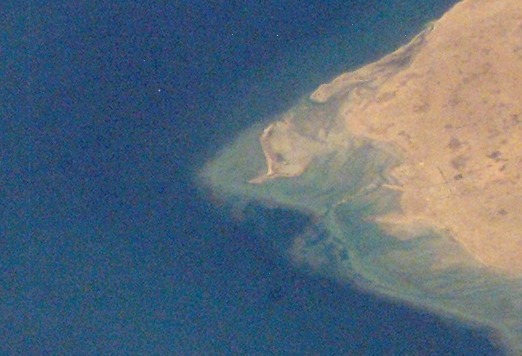
File:Satellite imagery of Ras Rakan 2007.jpg
Appearance
Satellite_imagery_of_Ras_Rakan_2007.jpg (522 × 356 pixels, file size: 54 KB, MIME type: image/jpeg)
File history
Click on a date/time to view the file as it appeared at that time.
| Date/Time | Thumbnail | Dimensions | User | Comment | |
|---|---|---|---|---|---|
| current | 10:32, 8 January 2019 |  | 522 × 356 (54 KB) | Elspamo4 | File:Satellite imagery of northern Qatari Peninsula 2007.jpg cropped 83 % horizontally, 83 % vertically using CropTool with precise mode. |
File usage
The following page uses this file:
Global file usage
The following other wikis use this file:
- Usage on ar.wikipedia.org
- Usage on hr.wikipedia.org
- Usage on mk.wikipedia.org
- Usage on ru.wikipedia.org
- Usage on uk.wikipedia.org
- Usage on uz.wikipedia.org


