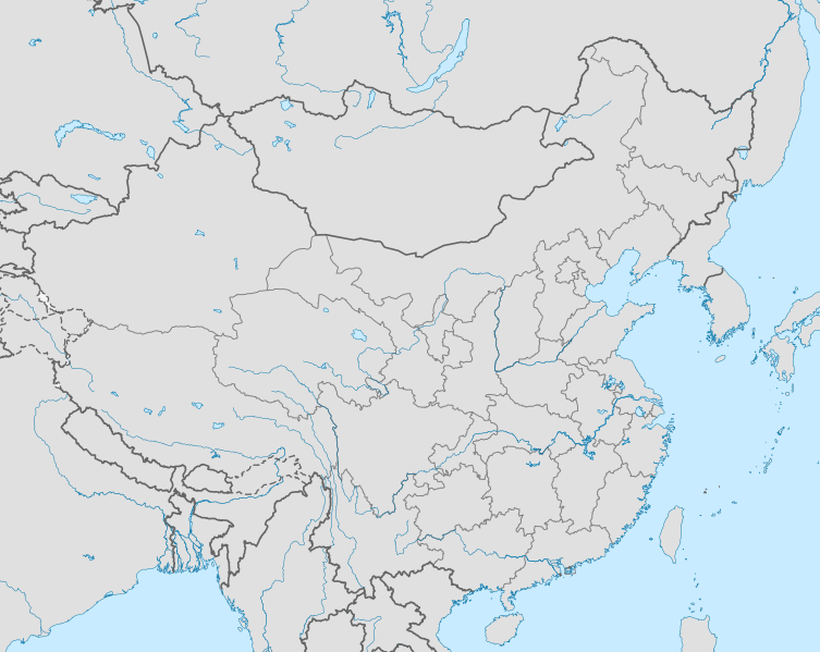
File:Ryukyu edcp location map.svg
Appearance

Size of this PNG preview of this SVG file: 753 × 599 pixels. Other resolutions: 302 × 240 pixels | 603 × 480 pixels | 965 × 768 pixels | 1,280 × 1,019 pixels | 2,560 × 2,038 pixels | 1,181 × 940 pixels.
Original file (SVG file, nominally 1,181 × 940 pixels, file size: 2.62 MB)
File history
Click on a date/time to view the file as it appeared at that time.
| Date/Time | Thumbnail | Dimensions | User | Comment | |
|---|---|---|---|---|---|
| current | 23:40, 5 September 2012 |  | 1,181 × 940 (2.62 MB) | Computermacgyver | {{subst:Upload marker added by en.wp UW}} {{Information |Description = {{en|Map of ryukyu kingdom in context (based on China map for now)}} |Source = http://en.wikipedia.org/wiki/File:China_edcp_location_map.svg |Date = 3 March 2010 |Author = Uwe Deder... |
File usage
The following page uses this file:
Global file usage
The following other wikis use this file:
- Usage on ar.wikipedia.org
- Usage on fa.wikipedia.org
- Usage on kn.wikipedia.org
