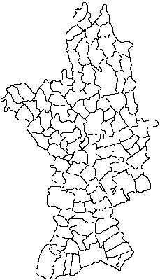
File:Romania Olt Location map.jpg
Appearance
Romania_Olt_Location_map.jpg (229 × 400 pixels, file size: 29 KB, MIME type: image/jpeg)
File history
Click on a date/time to view the file as it appeared at that time.
| Date/Time | Thumbnail | Dimensions | User | Comment | |
|---|---|---|---|---|---|
| current | 19:04, 28 May 2021 |  | 229 × 400 (29 KB) | Afil | corrected limits of communes |
| 23:47, 12 November 2011 |  | 229 × 400 (27 KB) | Afil |
File usage
The following 2 pages use this file:
Global file usage
The following other wikis use this file:
- Usage on ar.wikipedia.org
- Usage on ceb.wikipedia.org
- Usage on fa.wikipedia.org
- Usage on fr.wikipedia.org
- Usage on kn.wikipedia.org
- Usage on pl.wikipedia.org
- Slatina (miasto w Rumunii)
- Caracal (miasto)
- Balș
- Corabia
- Scornicești
- Drăgănești-Olt
- Piatra Olt
- Poboru
- Potcoava
- Moduł:Mapa/dane/Aluta
- Moduł:Mapa/dane/RO-OT
- Baldovinești (okręg Aluta)
- Gubandru
- Pietriș (okręg Aluta)
- Băbiciu
- Bălteni (okręg Aluta)
- Bărăștii de Cepturi
- Bărăștii de Vede
- Boroești
- Ciocănești (okręg Aluta)
- Lăzărești (okręg Aluta)
- Mereni (okręg Aluta)
- Moțoești
- Popești (gmina Bărăști)
- Bârza (okręg Aluta)
- Braneț
- Bobicești (okręg Aluta)
- Bechet (okręg Aluta)
- Belgun (okręg Aluta)
- Chintești
- Comănești (okręg Aluta)
- Govora (okręg Aluta)
- Leotești
- Mirila
- Brastavățu
- Crușovu
- Brâncoveni
- Mărgheni
- Ociogi
- Văleni (gmina Brâncoveni)
- Brebeni (okręg Aluta)
- Teiușu (okręg Aluta)
- Bucinișu
- Bucinișu Mic
- Călui
View more global usage of this file.


